









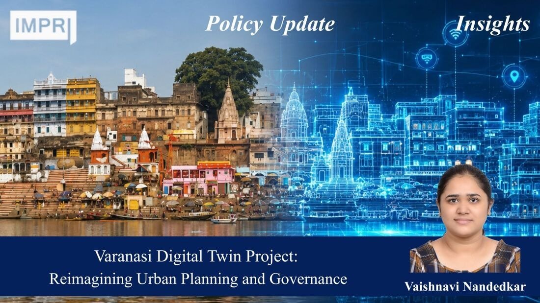
Policy Update
Vaishnavi Nandedkar
BACKGROUND
The Urban Spatial 3D City Model (Digital Twin) Project is a key initiative of Varanasi Smart City Limited (VSCL). The project aims to use geospatial technologies to improve urban planning, urban governance and public engagement. The city of Varanasi was selected due to its unique combination of historical and cultural value, its dense urban development including narrow streets, busy markets, heritage and religious places and an influx of tourists and pilgrims.
The project is executed by Genesys International Corporation Ltd and implemented under the Kashi Integrated Command and Control Centre (KICCC). Moreover, this project aligns with India’s geospatial transformation strategy through the Survey of India’s collaboration with Genesys to create GIS-enabled Digital Twins of several Indian cities.
The project also incorporates strategies of national initiatives such as Smart Cities Mission, SVAMITVA Scheme, PM GatiShakti, and achieving the SDGs in India.
Timeline: The Project was conceptualized under the Smart Cities Mission in 2021–2022. In 2022, Varanasi Smart City Limited partnered with Genesys International to develop the 3D digital twin of the city. During 2022–2023, extensive data collection was carried out using LiDAR surveys, aerial mapping, street-level imaging, and GIS technologies to create the 3D city model. In 2023–2024, the platform was integrated with municipal datasets, utilities, and infrastructure systems, enabling applications such as traffic management, disaster preparedness, and urban planning. By 2024, the digital twin had become operational for city administration, and in April 2025, it received the SKOCH Gold Award in the Urban Development category, recognizing its contribution to digital governance and smart city management.
FUNCTIONING
The Urban Spatial 3D City Model serves as a digital replica of the city of Varanasi, generated through one of the biggest mapping exercises carried out for the area. The coverage of the 3D mapping includes the entire Varanasi Nagar Nigam Area. Around 160 sq. Km. of digital mapping is carried out with the help of aerial LiDAR surveying, optical imagery, mobile terrestrial LiDAR, 360-degree street-level panoramic imagery, photogrammetry, and laser scanning.
Data gathered from these sources is used to generate extremely accurate 2D and 3D maps at the scale of 1:500, Digital Elevation Models (DEM) data, 3D reality mesh data, and an integrated spatial database with links to multiple government datasets.
The platform was created in 2023-2024 and it provides access to the 3D model that offers a high-resolution digital representation of roads, buildings, ghats, heritage buildings, utilities, and many other forms of important infrastructures. The platform also integrates CCTV data and smart sensors. This platform is operated from the Kashi Integrated Command and Control Center.
The platform serves as a spatial decision support program for the city instead of being simply used as a visualization tool. It can be used in several applications such as urban planning and development, infrastructure monitoring and maintenance, crowd control, crime detection and prevention, solid waste management, disaster management, flooding risk mapping, tourism marketing, heritage conservation, and citizens’ participation through an interactive portal.
PERFORMANCE
It can be noted that the Urban Spatial 3D City Model proved its high technical and institutional performance by winning the award and receiving the nomination for another important recognition. The project got the SKOCH Gold Award (2025) in the category of Urban Development and was nominated for the GovConnect Award for innovative use of digital technology for urban governance.
One of the indicators of its performance is creation of one of the largest municipal Digital Twin platforms in India. Through city-wide LiDAR mapping, the project created a highly precise three-dimensional spatial database to provide effective planning and urban asset management. In comparison with traditional methods of mapping, availability of detailed geospatial data allows analyzing the project in more detail and reducing uncertainty during the planning process.
Additionally, the platform increased the efficiency of planning processes as it allowed simulating and visualizing the proposed infrastructure projects such as flyovers, bridges, road widening measures, and water transport infrastructure.
Institutionally, Geo-enabled Decision Support System increased coordination between departments of the municipality through integration of the spatial data.
IMPACT
The Urban spatial 3D City Model has made a tremendous impact on Varanasi’s urban development and governance. The model has helped in improving coordination between various departments of the city of Varanasi. The model has provided a geospatial framework for developing evidence-based policies.
The digital twin allows visualisation of various scenarios of future developments and helps understand the gaps in the current infrastructure. It also helps in planning the transportation networks, housing projects and utility networks. Due to the model’s flood risk assessment capabilities, the disaster resilience of Varanasi city has improved as well. The model also offers disaster modelling, simulation and infrastructure monitoring at times of emergency.
Mobility management has improved as well due to the platform’s ability to analyse traffic congestion patterns. Managing crowds and providing accessibility during festivals and pilgrimages has become easier too, due to the platform.
The public services delivery is assisted by the management of water supply, sewerage systems, fire safety infrastructure, waste management, and public safety activities. Moreover, this project has great significance in the tourism and heritage conservation of the city through the management of visitor flows in heritage zones and ghats.
From an economic standpoint, chances for investment and growth have increased due to increased visibility of business zones and improved logistics and mobility.
EMERGING ISSUES
Despite its success, the digital twin project is seeing challenges emerge that may obstruct its performance. There are significant costs associated with the constant update of Digital Twin Data. Maintenance, software updates, and other technological advancements may lead to further financial challenges for the city government.
The integration of CCTV cameras, sensors, and GIS datasets pose questions regarding data security and require appropriate measures to ensure privacy protection, cybersecurity, and information security. Additionally, the efficient use of the platform is dependent on having competent professionals who can operate the system in various departments. Therefore, the digital gap may prevent the use of all features available.
Furthermore, challenge is related to interdepartmental cooperation, which is complicated by the need to ensure data standardization, interoperability, and information exchange among different organisations. The dependence of the system on sensor networks makes it necessary to calibrate the data constantly. Scaling of the model to other Indian cities is bound to be difficult on account of financial limitations, different levels of institutional capacity, and substantial variations in physical characteristics and planning environment.
WAY FORWARD
Formulating strong data privacy, cyber security, data sharing and ethics policies for urban data is required in order to build efficient and strong data governance structures. For improving the analytics capabilities of the platform, the incorporation of Artificial Intelligence (AI) and Machine Learning (ML) would be useful for various purposes, including traffic forecast, flood prediction, maintenance planning for infrastructure, and urban growth modelling.
The effectiveness of the digital twin model can be improved with the help of coordination between the municipal database, the state agency, the emergency service provider, and the utility provider. Additionally, the ongoing capacity-building programs are crucial to building the capability of the government officials and planners to use the Digital Twin technology.
To increase citizen engagement, the use of dashboards for public, mobile apps and participatory planning tools would help in ensuring greater transparency between the city government and the citizens.
In future, the success of the Varanasi model may serve as an example for the implementation of the Digital Twins in other cities as well.
REFERENCES
- Analytics India Magazine. (n.d.). Digital twins & AI: How Indian cities are solving urban challenges intelligently. https://analyticsindiamag.com/ai-features/digital-twins-ai-how-indian-cities-are-solving-urban-challenges-intelligently
- Centre for Development of Telematics. (2022). Varanasi Smart City [Presentation]. https://www.cdot.in/cdotweb/assets/docs/events/iot22/Varanasi_smart_city-Dr_D_Vasudevan.pdf
- Express Computer. (2022, August 11). Genesys International partners with Esri India to build digital twins of Indian cities. https://www.expresscomputer.in/news/genesys-international-partners-with-esri-india-to-build-digital-twins-of-indian-cities/88265/
- Genesys International Corporation Ltd. (2021, December 1). Genesys press release. https://static1.squarespace.com/static/63809347ea5b0031d9d95edc/t/638488bf098cb316c066b85d/1669630147407/Genesys+Press+Release+-+1st+December+2021.pdf
- Genesys International Corporation Ltd. (n.d.). Survey of India partnership. https://www.igenesys.com/surveyofindia
- Genesys International Corporation Ltd. (2025). Press release. https://static1.squarespace.com/static/63809347ea5b0031d9d95edc/t/693672fe13e8362d36ae8782/1765176062186/Press+Release.pdf
- GIM International. (2025). Varanasi smart city 3D digital twin project wins Indian urban development award. https://www.gim-international.com/content/news/varanasi-smart-city-3d-digital-twin-project-wins-indian-urban-development-award
- Press Information Bureau. (2022). National geospatial policy and geospatial initiatives . https://www.pib.gov.in/PressReleasePage.aspx?PRID=1798505®=48&lang=2
- Varanasi Smart City Limited. (n.d.). Official website. https://varanasismartcity.gov.in/
- Varanasi Smart City Limited. (n.d.). Urban spatial 3D city model (Digital Twin) project. https://kashi.gov.in/project-details/urban-spatial-3d-city-model-digital-twin-project
- YouTube. (2024). Varanasi Digital Twin Project [Video]. https://www.youtube.com/watch?v=67t2G1Ic-ek
- AGI India. (2022). Genesys International launches pan India 3D digital maps program. https://agiindia.com/genesys-international-launches-pan-india-3d-digital-maps-program/
ABOUT THE CONTRIBUTOR:
Vaishnavi Nandedkar is a research and editorial intern at IMPRI and has an academic background in Architecture and Urban Development. Her interests lie in urban governance, policy and planning.
ACKNOWLEDGEMENT
The author extends sincere thanks to the IMPRI team for their guidance.
REVIEWERS
Shreeya Dixit, Vyomini Nathwani
Disclaimer: All views expressed in the article belong solely to the author and not necessarily to the organization.
Read more at IMPRI
National Medical Devices Policy 2023: Building India’s Medical Manufacturing Ecosystem